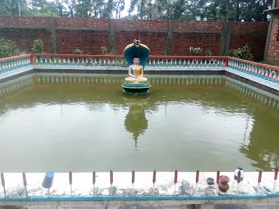
শাহপরীর দ্বীপ
Teknaf UpazilaAbout
Location :
Added by Jopie, at 30 August 2016
Gallery




Add missing information
2 Reviews
-
11 October 2016
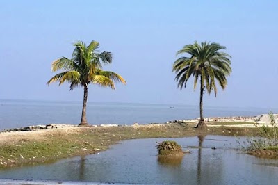
শাহ পরীর দ্বীপ টেকনাফের সর্ব দক্ষিণে ভূ-ভাগের খুবই নিকটবর্তী একটি দ্বীপ।শাহ পরীর দ্বীপের বাম পাশে নাফ নদী। নদীর ঐ পারে বার্মা বা মায়ানমার সীমান্ত। এটি একটি পর্যটন এলাকাও বটে।এখানকার অধিকাংশ মানুষ মৎস্যজীবি.
shah porir dwip is located in southern part of Bangladesh at the mouth of the Naf River, a maritime-boundary between Bangladesh and Myanmar.it a also a tourist area.there has a beautiful beach.response / report this review -
06 September 2016
⌂ Shah-Pori island Teknaf land-sharing is very close to all the south of the island, Shah Pori Island on the left side of the Naf river. Burma or Myanmar border situated oposite side of naf river.
□ Names of origin:
Emperor Shah Shuja was named one of the "Shah" and his wife paribanura 'Pori' was named after the island's total. According to some, "Farid Shah" has been renamed the island as Auliya.
□ Size and population:
Before independence, it was the size of a length of about 15 km and the width of the island Sahapori 10 kilometers. At present, the length of 4 km and a width of 3 km of the small stands.
□ Communication:
By road from Cox'sbazar toTeknaf distance 89 kilometers. From Teknaf to Sha Porir Dip distance 13.70 Kilometers. You can go by road or by boat with both system.response / report this review